.svg)
Airborne Electromagnetic Surveys
Experts in precision subsurface mapping
Airborne Surveys (AEM)
High-Resolution Subsurface Mapping
When you need reliable insight beneath the surface, airborne electromagnetic surveys provide fast, non-invasive, high-resolution understanding of the subsurface — from near surface to depth.
What Are Airborne Electromagnetic (AEM) Surveys?
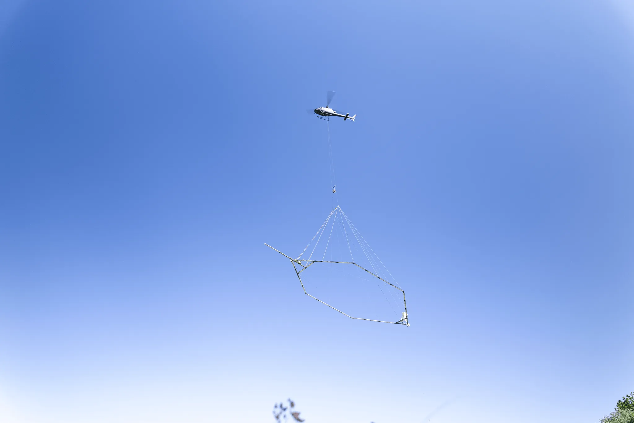
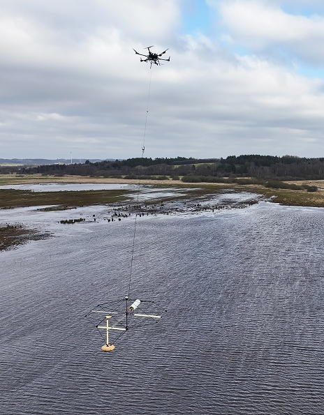
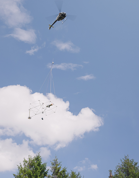
Airborne electromagnetic surveys use helicopter-mounted systems to map subsurface electrical conductivity without disturbing the ground. The system transmits electromagnetic pulses into the earth and measures the returning signal, allowing the creation of accurate models of geological structure, groundwater systems, and mineral deposits.
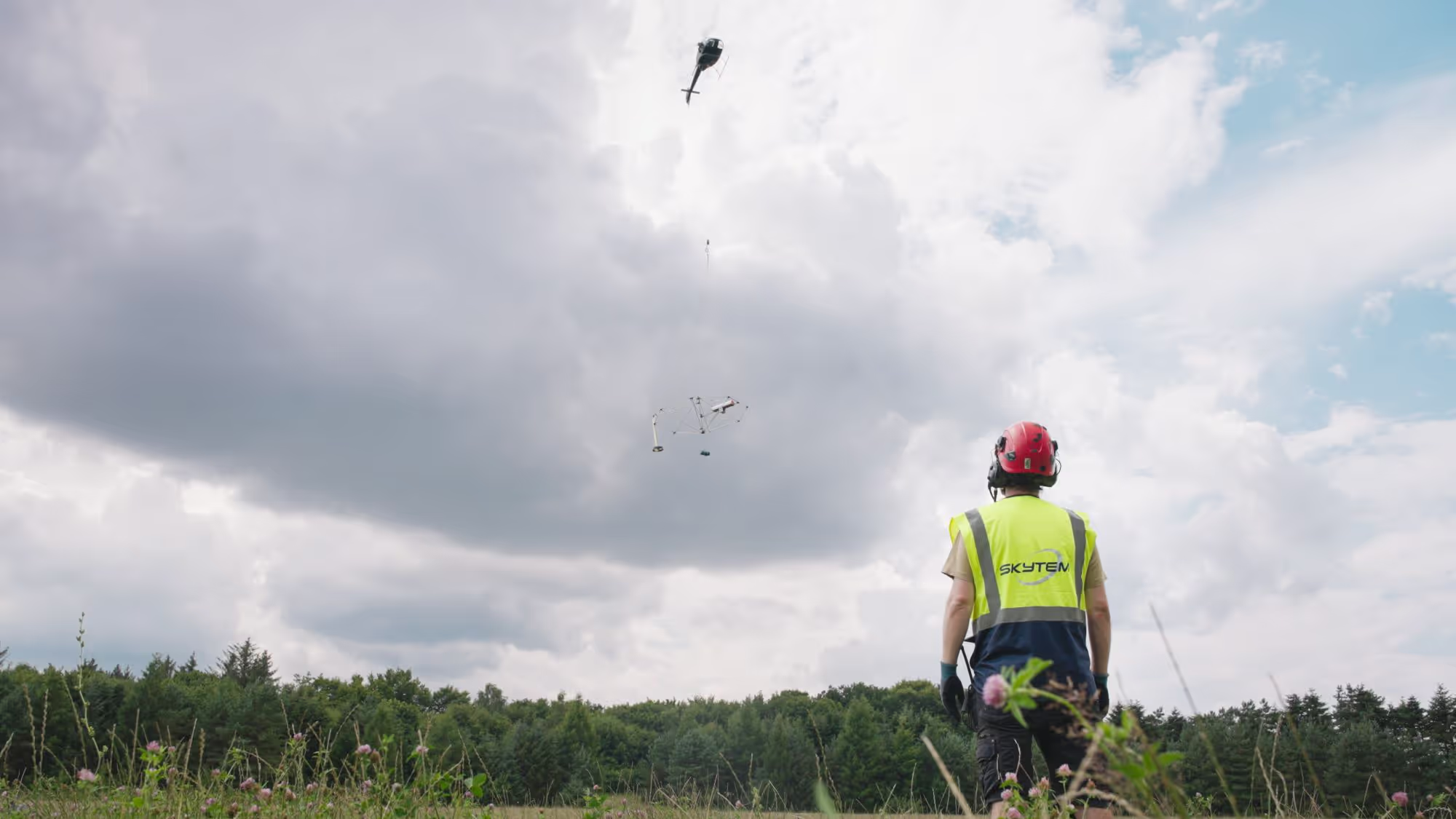
Unlike traditional ground-based methods, AEM surveys deliver consistent, calibrated data across large areas — including remote, forested, or inaccessible regions. If we can fly over it, we can map it.
Why Choose Airborne Surveys?
Speed and Coverage
Map hundreds of square kilometers in days while maintaining high-resolution data quality essential for confident decisions.
Zero Environmental Footprint
Airborne data collection leaves the ground untouched — no tracks, no excavation, no disruption of sensitive environments.
All-Terrain, All-Weather Capability
Helicopter-borne systems operate in rugged terrain and extreme climates, including sub-zero conditions where other methods cannot.
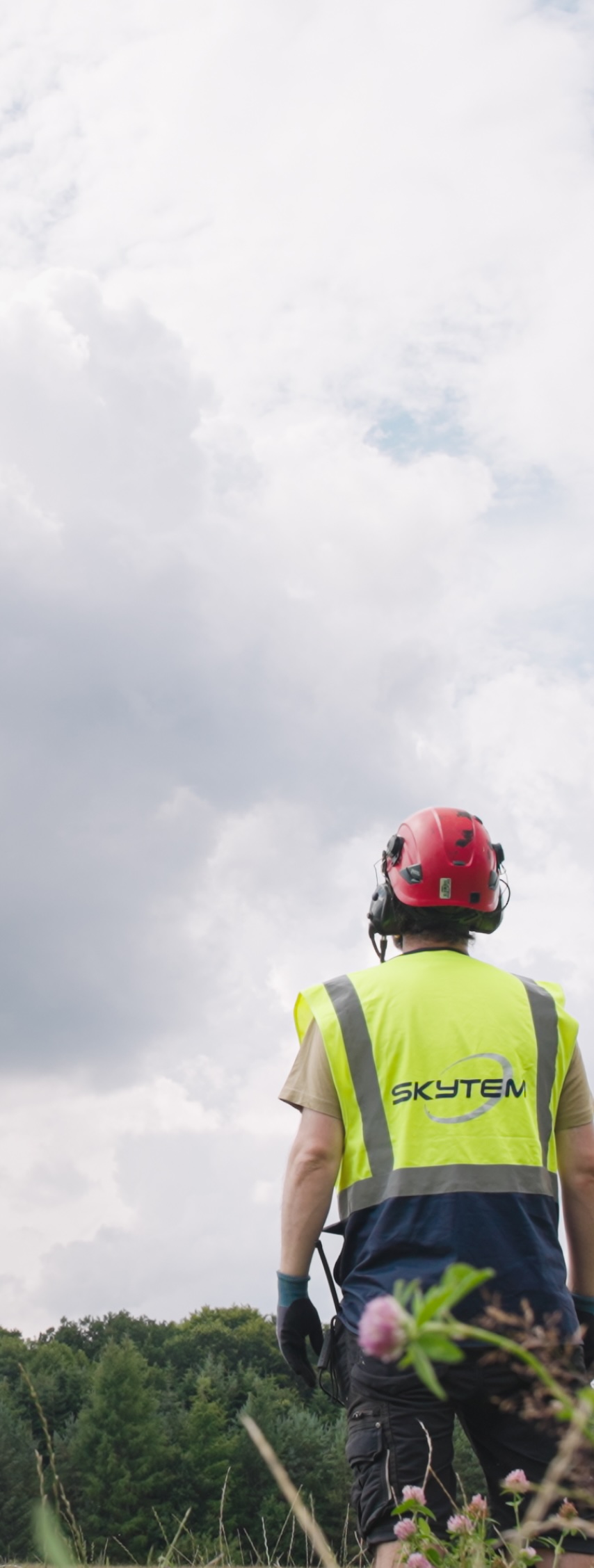
How Do Airborne Electromagnetic Surveys Work?
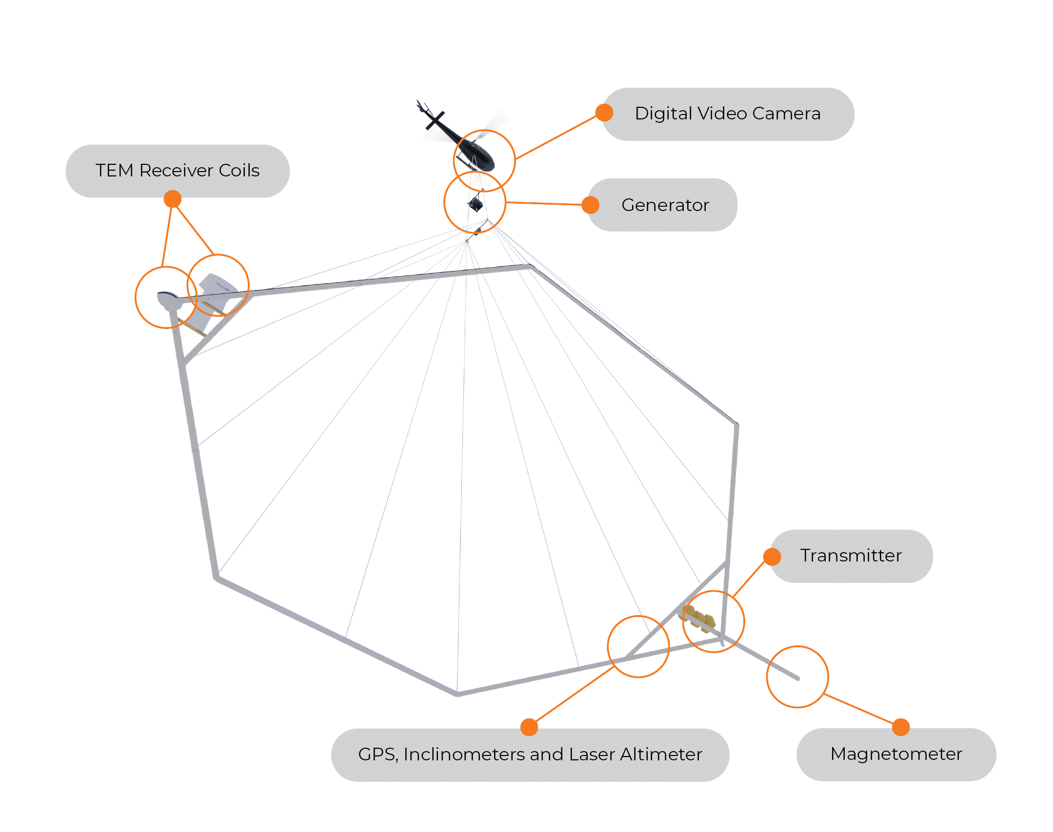
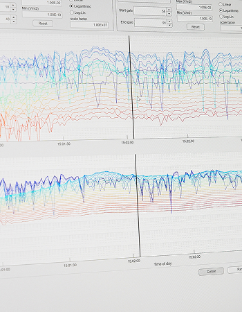
A calibrated transmitter-receiver system suspended beneath a helicopter sends electromagnetic pulses into the ground. As these pulses induce and decay within conductive materials, the system measures the resulting secondary fields with high precision.
This time-domain approach captures data from near-surface down to several hundred meters in a single flight, revealing groundwater aquifers, geological structures, mineral zones, and subsurface variations critical to project success.
Where Does AEM Make a Difference?
Groundwater Management
Map aquifers, define their extent, and improve drilling success rates. AEM provides a reliable foundation for sustainable groundwater management and resource protection.
Mineral Exploration
Identify conductive mineral deposits and map geological structures to define exploration targets with confidence. AEM reduces uncertainty, improves targeting efficiency, and supports faster discovery.
Geotechnical Engineering
Characterize subsurface conditions for infrastructure projects. AEM complements limited borehole data by providing continuous coverage and reducing early-stage project risk.
What Sets SkyTEM Apart?

Pioneers in Airborne Electromagnetics
SkyTEM developed the modern AEM method for groundwater exploration in collaboration with Aarhus University. With more than 2 million line kilometers flown, we bring proven experience across varied terrains and project contexts.

Technology Built for Accuracy
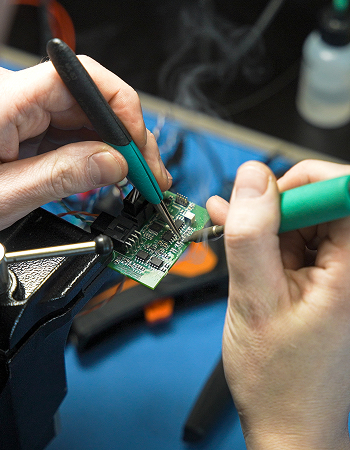
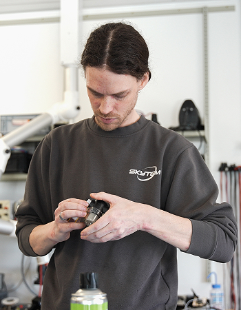
Every SkyTEM system is designed, built, and calibrated in-house to ensure complete control over data quality. Our multi-moment technology captures high-resolution near-surface detail and deep geological structure in a single flight, delivering accurate, inversion-ready data.

Proven Safety Leadership
With over 2 million line kilometers flown by helicopter, ISO 45001 certification, and active leadership in IAGSA, safety is embedded in every aspect of our operations. This commitment protects our teams, our partners, and every project we undertake.

A Collaborative Approach
We work closely with clients from planning to delivery, providing clear workflows and preliminary results within 48 hours. Our global experience ensures suvey designs tailored to local conditions and project goals.
Ready to See What Lies Beneath?
When you know what you have, you can protect it. Airborne electromagnetic surveys deliver the high-resolution subsurface insight needed for groundwater management, mineral exploration, and infrastructure design.
With reliable data in hand, you can plan responsibly and move forward with confidence.

.svg)
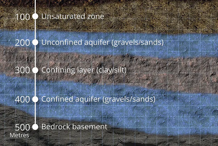
The SkyTEM technology was chosen because it is particularly well suited for large-scale groundwater mapping. The system can rapidly acquire consistent electromagnetic and magnetic data while flying at low altitude, producing high-resolution images of the subsurface from near the surface down to several hundred meters in depth. Compared to conventional ground-based surveys, SkyTEM can cover large regions quickly and non-invasively, providing a continuous picture of aquifer systems that would otherwise require years of investigation. Based on the quality of the data, the technical expertise of the personnel involved throughout the survey, and their ability to manage unforeseen events, SkyTEM is highly recommended for organizations seeking to obtain the best possible subsurface information and confidently define drilling targets for effective and efficient exploitation of groundwater resources.
.webp)

For over 15 years, SkyTEM has been our trusted partner in enabling the acquisition of high-quality, perfectly calibrated airborne electromagnetic data across France—from the mainland to our overseas departments and territories.
Throughout our long-standing collaboration, SkyTEM has consistently pushed the boundaries of innovation, continuously improving both depth of investigation and near-surface resolution. This cutting-edge data has proven invaluable for a diverse range of critical applications, including raw materials prospecting and landslide risk assessment. Crucially, their technology has revolutionized our hydrogeological knowledge. By mapping groundwater resources with incredible precision, SkyTEM provides the insights we need to support vital sustainability initiatives and secure water resilience in a changing climate.
.webp)

Throughout the Brokilde project, SkyTEM demonstrated strong operational performance, effectively managing the logistical challenges of the Danish landscape while delivering high quality geophysical mapping. The SkyTEM Diamond system provided high-resolution data from the nearest surface (as shallow as 1 meter) down to depths of 200 meters, offering the necessary data for an update of the geological model in the catchment area at Brokilde. Combined with the professional delivery of digital datasets and reporting, SkyTEM and Ramboll have provided data for further analysis that are needed for renovating Brokilde well field.
.webp)

We are pleased to acknowledge the exceptional contribution of SkyTEM Surveys ApS to our recent airborne electromagnetic (AEM) survey initiative in Maun, Botswana. Contracted by Kemcore Botswana (Proprietary) Limited, SkyTEM undertook an extensive survey comprising approximately 6,100 line kilometres, with a line spacing of 1,000 metres and detailed infill lines at 500 and 250 metres respectively.
SkyTEM’s operational efficiency and deep technical expertise were evident throughout the project, delivering highly accurate geophysical data that proved instrumental in mapping subsurface aquifers, including brine-rich formations. This work significantly supported our sustainable groundwater management efforts and informed strategic decisions in water sourcing and mineral extraction.SkyTEM’s professionalism and commitment to excellence make them a highly recommended partner for any geophysical exploration campaign.
.webp)

In February 2021, SkyTEM Surveys ApS carried out a helicopter-borne EM/MAG geophysical survey near Ghanzi, Botswana, using their state-of-the-art SkyTEM312FAST system. The project comprised of 2,380 kilometres with ultra-precise 200-metre line spacing, this surveying mission targeted copper and silver deposits in the heart of the legendary Kalahari Copper Belt, reaching depths of up to 400 metres beneaththe surface.
From data acquisition to the production of maps and reports, every aspect of the SkyTEM survey was executed with outstanding safety and efficiency. The high-resolution SkyTEM312FAST data results not only lived up to expectations - it redefined them, confidently delineating our mineral targets.
.webp)

SkyTEM Surveys ApS successfully completed a regional helicopter-borne electromagnetic (AEM) and magnetic geophysical survey over the Company’s tenement package near Ghanzi, Botswana. Despite exceptionally challenging conditions, including a record wet season and the impacts of COVID-19, SkyTEM delivered high-quality results with professionalism and resilience.
The project comprised 18,970 line kilometers using the advanced SkyTEM312FAST system and the survey objective was to map targeted copper/silver prospects across the Kalahari Copper Belt in Botswana ranging from surface to approximately ±400 metres. The scope of the work included acquisition, processing, and delivery of comprehensive datasets, reports, and maps.
Explore our AEM systems
Learn more about the technology behind SkyTEM’s airborne surveys.
.webp)
.webp)
.webp)
Discuss your project with a SkyTEM specialist.
We’ll help scope the right airborne electromagnetic survey for your goals and terrain.