.svg)
Engineered for Every Subsurface Challenge
From near-surface mapping to deep exploration, SkyTEM’s airborne systems deliver the precision and depth required for reliable results.
SkyTEM Systems
Proven airborne systems for every subsurface challenge
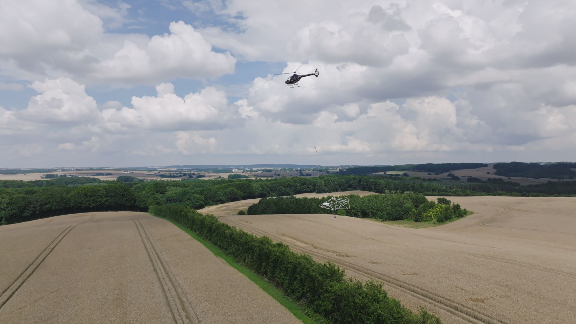
Extraordinary near-surface resolution and fast current turn-off deliver accurate data from the top few meters to depths of 200 m. Fully calibrated for accurate, seamless mapping directly comparable to borehole data—ideal for precise detail.
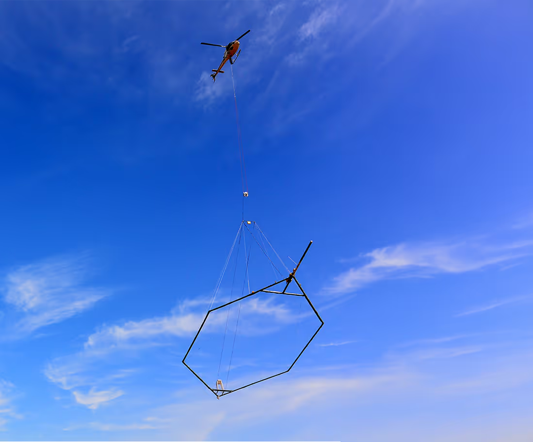
Economic mapping with dual-moment data. Delivers deep penetration alongside near-surface detail, providing accurate data from the top few meters to depths of 500 m—well suited for regional mineral and groundwater exploration.
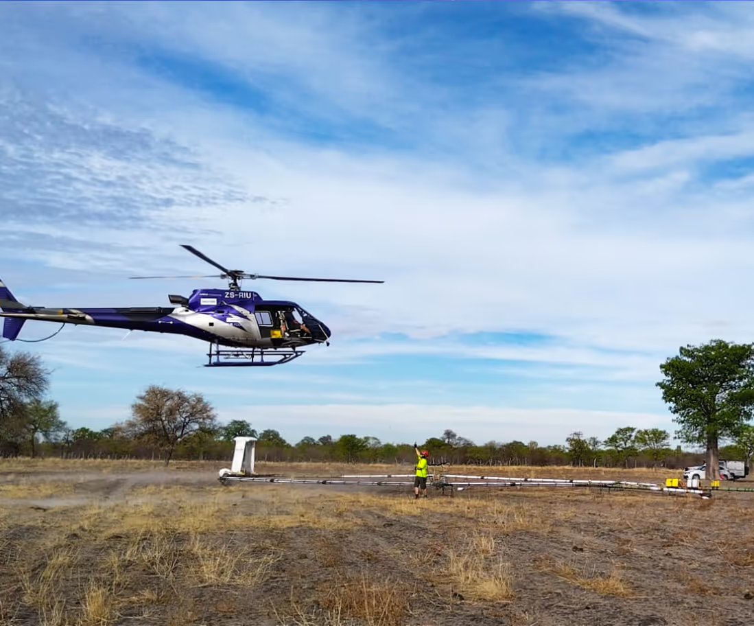
High-power MultiMoment data combines extraordinary near-surface resolution with a massive depth of investigation. Highly economical, it delivers accurate data from the top few meters to depths of 500 m.
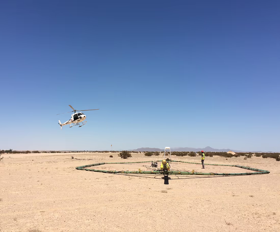
Next-generation MultiMoment data blends exceptional deep exploration with high near-surface resolution. Aerodynamically superior and lightweight, it is verified down to depths of 700 m with an advanced primary field compensation technique for unmatched deep mapping accuracy.
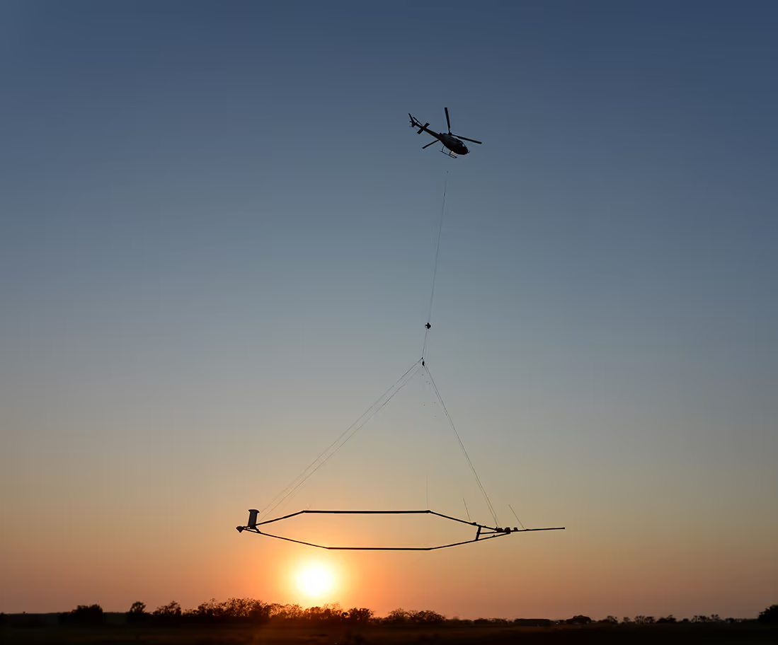
The revolutionary, fully airborne system operated by helicopters or drones. It delivers exceptional near-surface resolution from the top 1 meter down to depths of 150 meters, making it ideal for mapping closer to infrastructure in groundwater, geotechnical, and mining exploration.
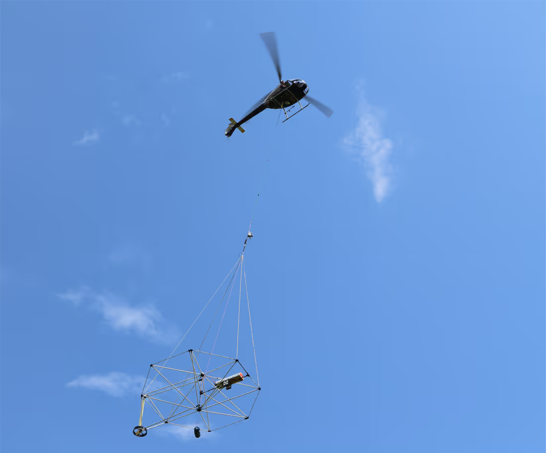
Discuss your project with a SkyTEM specialist.
We’ll help scope the right airborne electromagnetic survey for your goals and terrain.