Our Misson
It is SkyTEM’s mission to provide knowledge about the earth beneath our feet, supporting more sustainable solutions.
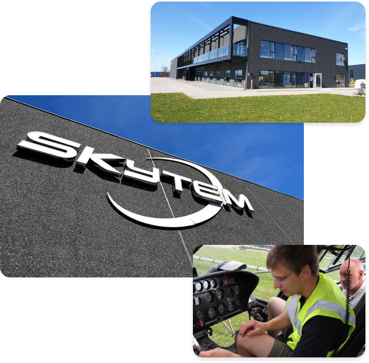
SkyTEM is a leading airborne geophysical survey company offering the acquisition and advanced processing of transient electromagnetic (TEM), magnetic and radiometric data.
Our success is driven by our people and their commitment to achieving good results through appropriate and innovative technologies, operational efficiency and delivery of accurate and timely earth data. We began as a breakthrough technology with the unique dual-moment capability to map both shallow and deep geology, concurrently and in high resolution. We remain totally involved in improving how the world maps the subsurface.
We offer a choice of systems, each with a focus on the depth and resolution requirements of the mineral , energy, engineering and water sectors. Our deliverables include a diverse range of map products and visualizations such as 3D images and inversions within 48 hours.
Global Scope
Our diverse and highly skilled workforce of geophysicist, engineers, technicians and project managers have managed and completed projects on all seven continents and are experienced in all aspects of geophysical data collection and safe operations.
Our global coverage is complemented via partner companies that are strategically located to ensure availability of our technology and services.Technology and Emerging Needs
The SkyTEM Method is not based on what others have done – and are still doing – rather, we engineered a truly innovative and unique technology capable of delivering accurate and finely detailed images from the very near surface to depth using airborne geophysical surveys.
We focus on improving your ability to find, manage and develop resources and your ability make timely decisions with confidence. We continue to develop the next generation of TDEM sensors, including the achievement of even greater depths of penetration and increasing our already high S/N ratio , via our on-going investment in R&D .
Environment and Safety
We take great pride both as a company and as individuals in our contribution to the communities where we live and work. We operate geophysical surveys always with great care for the environment and are proud of the many ways that our employees work to safeguard it.
Our Work
We recognize that the world needs all the water, energy and mineral resources we can develop and we work continuously to develop ways to map and manage these resources with the help of geophysical surveys and providing knowledge about the earth.
Our Values
We distinguish ourselves by:
Fast Survey Completion
Acquisition of up to 1,000 line kilometres per day
Robust system for challenging weather and terrain conditions
Rare reflights required due to system engineering and survey planning
Professional and competent field staff
Fast Data Delivery
Data QC performed in the field as data is acquired
Preliminary data delivered within 48 hours
Allowing decision on in-fills to be made during the survey
Meeting with the client to present and discuss final results
High-quality Accurate Data
DualMoment maps near surface in high resolution concurrently with accurate measurements to depth
Depth of penetration can be customized to suit the geology and target
Advanced processing options